


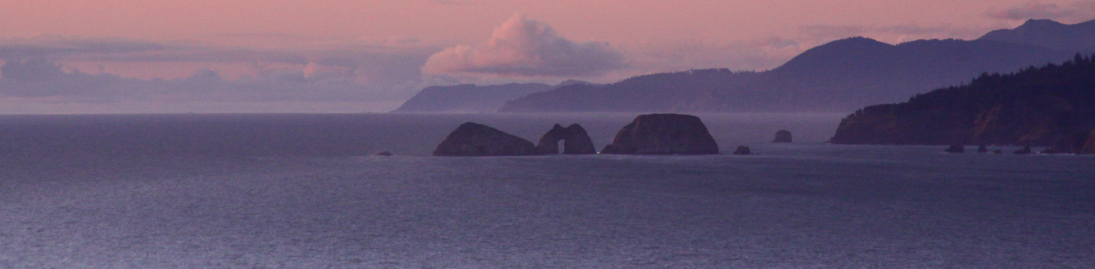
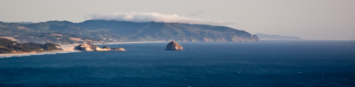
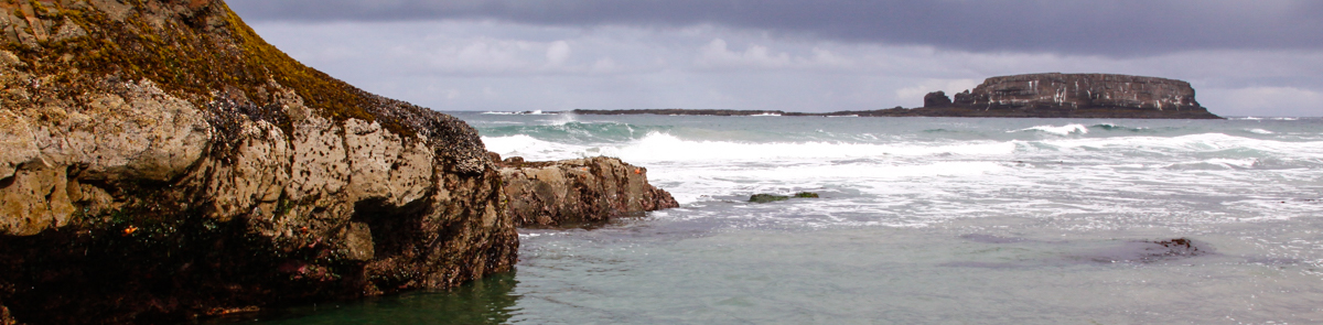

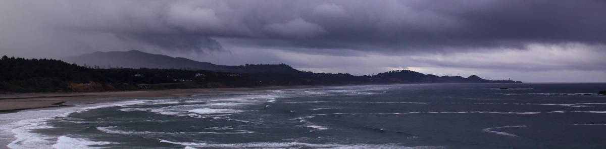
This page summarizes data that has been used to support siting and permitting of marine renewable energy in Oregon and beyond.
Oregon Territorial Sea Plan - Part V Amendment Supporting Data
From 2008 - 2013, the State of Oregon engaged in a public marine spatial planning process to amend Part V of the Territorial Sea Plan, which concerns Use of the Territorial Sea for the Development of Renewable Energy Facilities or Other Related Structures, Equipment or Facilities.
Part Five of the Oregon Territorial Sea Plan describes the process for making decisions concerning the development of renewable energy facilities (e.g. wind, wave, current, thermal, etc.) in the state territorial sea, and specifies the areas where development may be sited. The requirements of Part Five are intended to protect areas important to renewable marine resources (i.e. living marine organisms), ecosystem integrity, marine habitat and areas important to fisheries from the potential adverse effects of renewable energy facility siting, development, operation, and decommissioning and to identify the appropriate locations for that development which minimize the potential adverse impacts to existing ocean resource users and coastal communities.
Many types of information supported the marine spatial planning process to identify areas within the territorial sea suitable for marine renewable energy development. Visit the Resource Inventory Maps page on this site for more information about the ocean and coastal resource inventories that were conducted in support of the Part V amendment, as well as interactive maps of existing resource inventory information. An interactive map of the resulting Part V Marine Renewable Energy suitability area designations may be found on the Territorial Sea Plan Maps page.
Click on the Ocean Energy folder below to open a library of information that supported the Part V planning process, including presentations, maps, meeting minutes, planning criteria, and correspondence.
Marine Cadastre
MarineCadastre.gov was developed through a partnership between the U.S. Department of Commerce’s National Oceanic and Atmospheric Administration (NOAA) Office for Coastal Management and the U.S. Department of the Interior’s Bureau of Ocean Energy Management (BOEM). MarineCadastre.gov is an integrated marine information system that provides data, tools, and technical support for ocean and Great Lakes planning. MarineCadastre.gov was designed specifically to support renewable energy siting on the U.S. Outer Continental Shelf but also is being used for other ocean-related efforts.
The MarineCadastre.gov team is continually working to increase access to data through data and map services. The services are designed to deliver data without replication and directly from the source. MarineCadastre.gov supports a number of complementary efforts, including Digital Coast, Data.gov, and Geoplatform.gov. You are encouraged to use these data map services in your mapping initiative. If you have data useful for marine planning, pleaseThis email address is being protected from spambots. You need JavaScript enabled to view it..
MarineCadastre.gov was created to comply with Section 388 of the Energy Policy Act of 2005 but is also providing the geospatial framework needed for the broader marine spatial planning initiative called for in the National Ocean Policy.
TETHYS
In order to address the growing global demand for energy, industry is looking to extract energy from renewable sources such as wind, waves, and tides. Yet potential environmental effects must be evaluated and measured to ensure that animals, habitats, and ecosystem functions are not adversely affected, nor that existing ocean and land uses be displaced. The goal of Tethys is to progress industry in an environmentally-responsible manner.
The core of Tethys is a Knowledge Base that draws together metadata, supporting reports, relevant papers, videos, and other material to provide a current state of knowledge of environmental effects associated with marine hydrokinetic energy (i.e., wave and tidal power) and wind energy (both offshore and land-based) generation technologies. The Tethys map viewer shows the location of information and documents that are associated with a geographic location, creating a subset of all the information within Tethys. This allows users to identify projects and studies visually, enabling them to easily associate results to different regions around the world.
Tethys, named after the Greek titaness of the sea, was developed in 2009 by the Pacific Northwest National Laboratory (PNNL) to support the U.S. Department of Energy (DOE) Wind Energy Technologies Office and Water Power Technologies Office. The primary functions of Tethys are twofold:
- To facilitate the exchange of information and data on the environmental effects of wind and marine renewable energy technologies; and
- To serve as a commons for wind and marine renewable energy practitioners and therefore enhance the connectedness of the renewable energy community as a whole.
Tethys supports a growing community of researchers, regulators, and developers through outreach and communication channels including the Tethys Stories, pertinent organizations, databases with similar missions, and broadcasts of presentations, webinars, seminars, and symposia relating to the environmental effects of wind and marine renewable energy. As the Tethys community expands and more users create accounts, each user’s personal interests and areas of expertise may be catalogued upon request to facilitate more communication amongst Tethys community members.
Together with other DOE national laboratories, National Marine Renewable Energy Centers, universities, and industry, Tethys contributes to a program of research and development focused on unraveling the complexity of environmental issues associated with wind and marine renewable energy technologies. Tethys provides a number of ways to sort and search for data, connect with the research community, and learn more about the current status of the industry.
Oregon Wave Energy Trust Research
http://oregonwave.org/research/
Oregon Wave Energy Trust (OWET) is a nonprofit, public-private partnership that is helping to responsibly develop ocean energy by connecting stakeholders, supporting research and development, and engaging in public outreach and policy work.
OWET works with a wide range of stakeholders including: fishing and environmental groups, utilities, industry, government and interested citizens.
OWET has sponsored more than 80 research projects that explore the impacts of marine and hydrokinetic energy technologies on the ocean and its users, engage stakeholders, answer questions about the human, economic and environmental impacts of the industry, offer expertise to map out and streamline the permitting process, drive demand, and bring regional utility partners to the table.