


Informed decision making, the heart of Goal 19 and the Oregon Ocean Plan, depends upon adequate information about ocean resources and uses and the effects of any proposed action on those resources and uses. This page contains information about ocean and coastal resource inventories, as well as interactive maps of existing resource inventory information.
Requirements for Resource Inventories and Evaluations
The state’s Ocean Resources Goal 19 and the Territorial Sea Plan (TSP) require the preparation of a resource inventory and effects evaluation before an agency may make a decision to conduct, approve, or fund an action that will occur within Oregon's territorial sea or the state Rocky Shores Management Area and that is related to or affects marine resources and uses in Oregon's territorial sea. The resource inventory and effects evaluation must be sufficient to understand the short-term and long-term effects of the proposed decision on the affected resources and uses.
Actions requiring a resource inventory and effects evaluation may include marine renewable energy projects, cables, pipelines, other utilities, and other potential future uses. More information regarding the standards for resource inventories and evaluations may be found in Part II of the Territorial Sea Plan. (PDF)
Territorial Sea Plan Part V Resource Inventory Interactive Map
As part of the TSP Part V Amendment process to identify areas and conditions that are appropriate for the development of a wide variety of marine renewable energy technologies, the Territorial Sea Plan Working Group gathered data to show where a number of existing human and biological uses were already taking place within the territorial sea and coastal shoreline. This information was used to provide flexibility for the marine renewable energy industry to find locations that meet the physical requirements of the varied technologies while avoiding harmful impacts to ecological resources or other marine resource users.
An interactive GIS map containing many of the layers from the resource inventory effort is shown below. This map is in the process of being updated with all of the inventory layers.
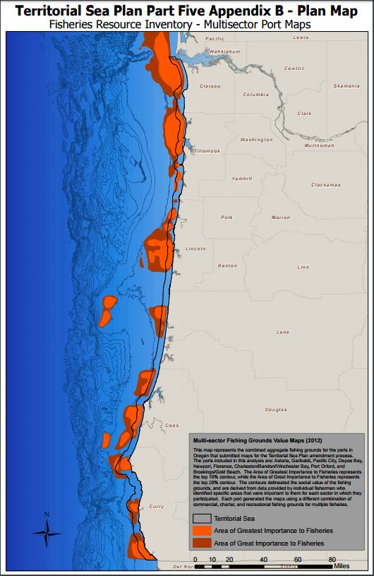
Print versions of the resource inventory maps be be viewed via the following link: Territorial Sea Plan Part V, Appendix B: Map Designations (PDF). This document contains maps of the many resource inventory layers that were considered when the OPAC Territorial Sea Plan Working Group recommended areas to be designated as suitable for potential marine renewable energy development. The maps delineate areas within the territorial sea based on the resources and uses present within them, and to which the review standards apply.
Part V Resource Inventory Data Sets
The geospatial data sets for marine resources and uses listed below were used as the basis for delineating the areas that form the Territorial Sea Plan Part Five Resource Inventory.
|
Beneficial Uses Data Sets
Ecological Resources Data Sets
Fisheries Use Data Sets
|
 |
Visual Resource Inventory Map
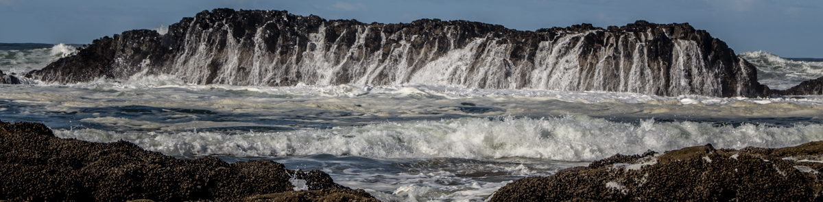
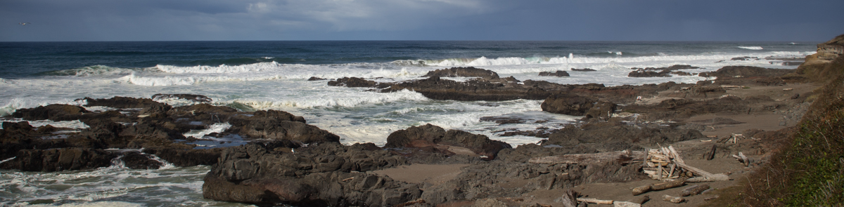
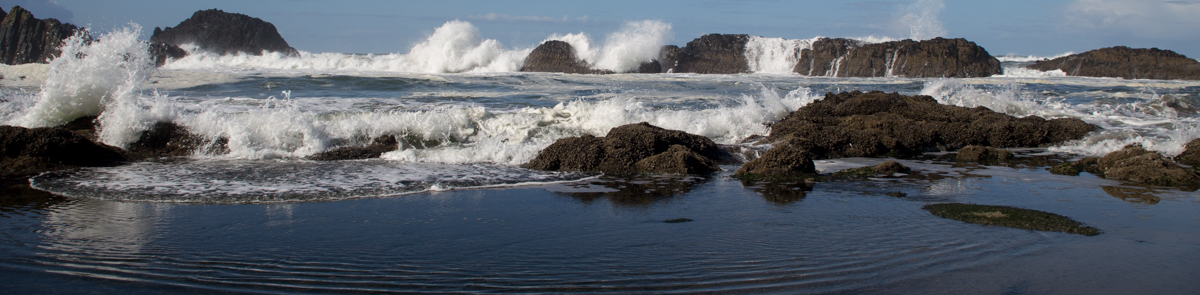
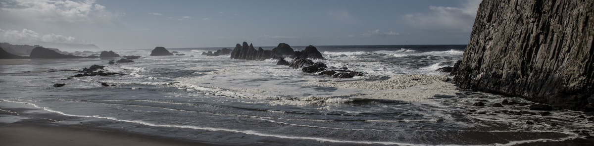
As part of the Territorial Sea Plan Part V amendment process, Oregon adopted a visual resources management system. That system included the establishment of a visual resources baseline of the Territorial Sea seascape, where 143 locations were surveyed during the scenic quality evaluation process, for use in determining visual resource class values. Those values, applied to their associated viewsheds and adopted standards will help Oregonians understand the potential impacts of any new proposed development. The baseline report documents the Visual Resources Inventory Assessment quality results at the time the Territorial Sea Plan Part V was amended.

Oregon’s Statewide Planning Goal 19 states that agencies, through programs, approvals, and other actions, shall “protect and encourage the beneficial uses of ocean resources such as…aesthetic enjoyment.” This is reiterated in Part V of the Territorial Sea Plan. Oregon’s Ocean Shore Management Plan (OPRD, 2005), a FERC approved “comprehensive plan”, notes that OPRD, “may identify important ‘scenic features’ that should be protected from development or other impacts for their scenic value.” The TSP Working Group public meetings in 2012 underscored the importance of considering aesthetic (e.g., viewshed) impacts during the TSP amendment process.
The map below represents the visual resource inventory point locations and their scenic quality evaluation scores. The scores resulted from the Scenic Quality Evaluations conducted as part of the Oregon Territorial Sea Plan Visual Resources Inventory Project.
To learn more about how the Visual Resource Inventory was conducted, view the following presentations and reports:
pdf Visual Resource Inventory Baseline Report, DLCD, 2013 (9.28 MB) (PDF)
Presentation: Managing the Visual Landscape of Oregon's Territorial Sea (PDF)