


 View maps of the Territorial Sea, with layers that can be interactively switched on, including maps of: Part III Rocky Shores, Part IV Cables, and Part V Marine Renewable Energy Area Designations Map.
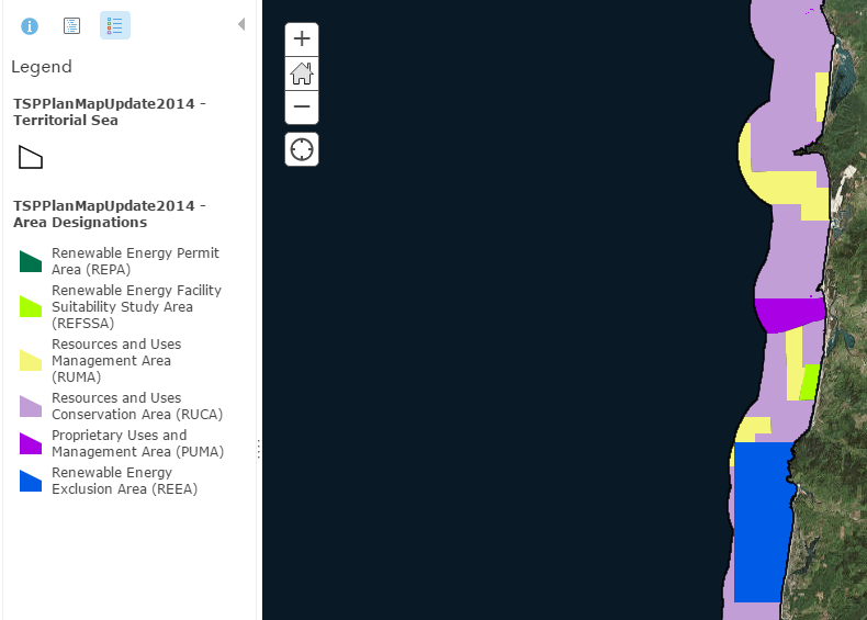
Territorial Sea Plan Part V Map:
Map showing the Territorial Sea Plan Part 5 Plan Map. The map shows areas delineated through the Territorial Sea Planning process where regulatory standards for Marine Renewable Energy Development will be applied to development applications. archive Download GIS data for Part Five by clicking here. (1.66 MB)
pdf Part V Plan Map (1.57 MB) (PDF)
View the Part V Map on ArcGIS Map Viewer
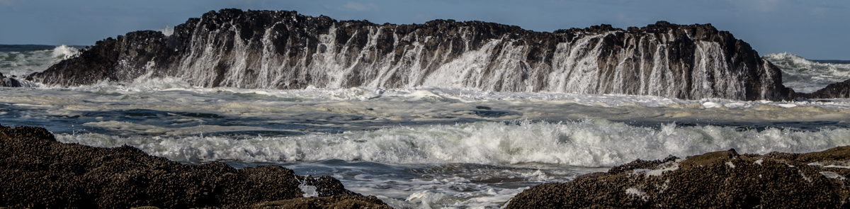
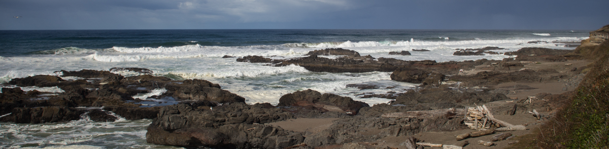
TSP Part III: Rocky Shores
TSP Part IV: Subsea Cables
Coming soon!