


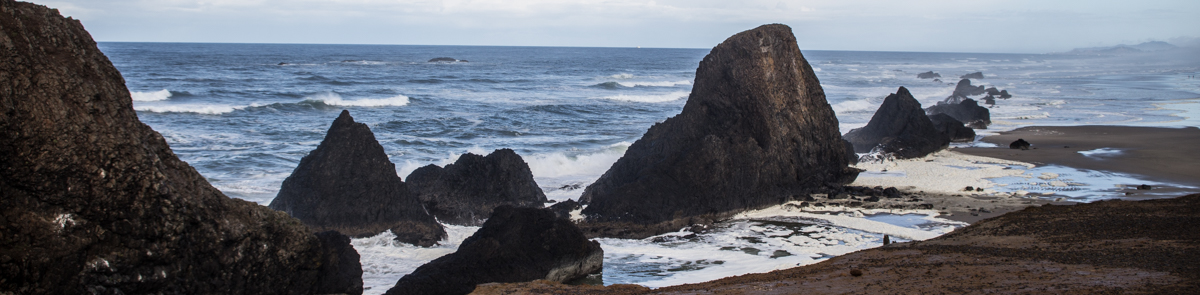
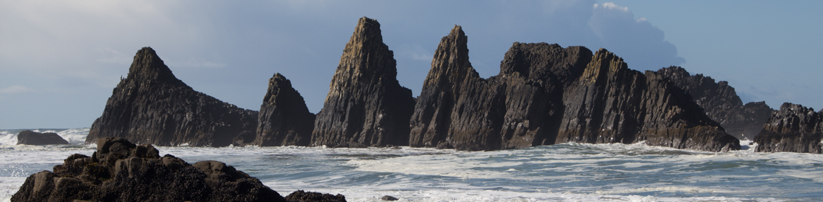
These designations completes a multiple year effort led by the Ocean Policy Advisory Council to revise the Management Strategy and was focused on site management designations along areas of Oregon’s iconic rocky shoreline. The effort included extensive input from agencies, organizations, governments, and general rocky coast users on revisions to the Plan.

 |
How was the Rocky Habitat Strategy amendment performed?
|
MONTH |
KEY DATES & PUBLIC MEETINGS |
|
January 2021 |
Agency analyses of rocky habitat proposals submitted during 2020 Initial Proposal Period. |
|
February |
Rocky Habitat Working Group evaluations of rocky habitat proposals. (02/25) Working Group meeting |
|
March |
30-day public comment period begins on initial Working Group recommendations for rocky habitat site management designation proposals. Information on public comment period published to www.OregonOcean.info |
|
April |
Final revisions to draft Rocky Habitat Management Strategy; Final Working Group recommendations for rocky habitat proposals. |
|
May |
OPAC Meeting |
|
July |
Proposal Process Evaluation Workshop |
|
September |
DLCD published workshop findings, publish draft recommended amendments for Section E, Appendix C. Draft Amendment |
|
October |
Collected Public Comments: Public Comment 1, Public Comment 2 Provide Draft Amendment Recommendations to OPAC |
|
November |
OPAC met November 4, 2021 and adopted the draft amendments. |
|
February 2022 |
LCDC will conduct the first public hearing for the draft rule amendment. |
|
March 2022 |
LCDC will consider adoption of the draft rule amendment. |
|
December 2022 |
The OPAC recommended sites for designation to conclude the further evaluation process. |
|
April 2023 |
LCDC will consider the OPAC recommendations for adoption of the sites via amendment of Appendix E. |
The Territorial Sea Plan Working Group conducted a series of public meetings and workshops to inform and educate the public about the plan amendment process, review site maps and inventory information, and analyze the various alternatives and options for specific areas, after which it will present its findings and recommendations to OPAC for consideration. OPAC then finalized a draft plan amendment and submit it to the Oregon Land Conservation and Development Commission(LCDC) for public review and formal adoption.
The following process timeline was flexible and was adapted throughout the process to meet agency and stakeholder needs.
Why update the Territorial Sea Plan for Oregon’s Rocky Habitats?
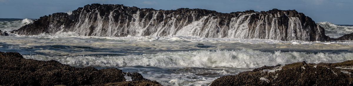
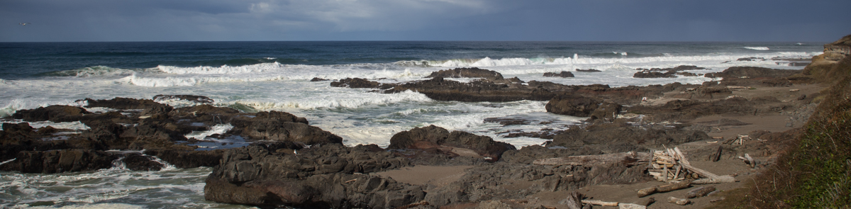
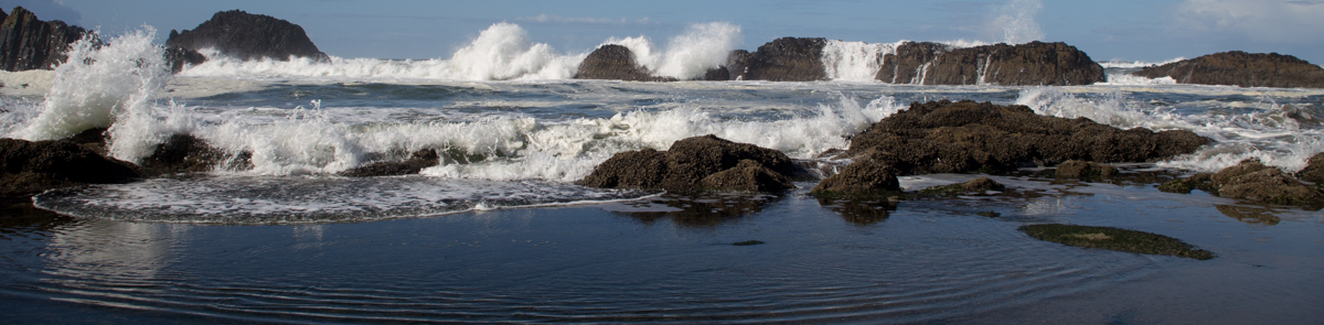
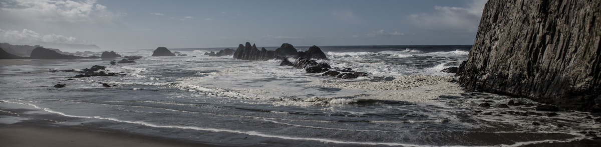
The Oregon Territorial Sea Plan was first instituted in 1994 and provides detailed guidance to state and federal agencies to manage uses within the coastal zone and the state’s territorial sea from 0-3 nautical miles offshore. The ocean is governed by a tapestry of authorities at multiple government scales, and the Territorial Sea Plan acts as a coordinating framework for the Oregon coastal zone from which individual agencies institute regulations and management activities.
Who is involved in the Rocky Habitat Strategy amendment?
Consistent with Statewide Planning Goal 1, citizens are invited to participate during all phases of the amendment process. The diagram below shows how parties will be involved.
At the outset of this process, the Ocean Policy Advisory Council (OPAC) will use its Territorial Sea Plan Working Group, composed of OPAC members, agency representatives, and others with relevant expertise in rocky habitat management, science, or education, to evaluate the latest knowledge about the rocky shores system and generate recommendations for the plan amendment.
The Oregon Department of Land Conservation and Development (DLCD) provided staff support and coordination of the effort with the OPAC. The input and assistance from the general public, resource users, coastal communities, and other interested parties was integral to the process.

The general activities of the Working Group included the following:
- Solicit public input via a survey focused on rocky habitat users’ needs, concerns, and observations related to rocky habitat areas along the Oregon Coast.
- Establish an inventory of existing resources and uses based on the best available scientific information. Inventory information can include geological and biological characteristics, human usage statistics and concerns, and special protection needs. This information will be presented visually via spatial maps and conceptual models to determine linkages and interdependencies.
- Identify uncertainties, data gaps, and information gathering opportunities.
- Develop objectives for ecosystem-based management and public awareness building for rocky habitats.
- Generate planning and management alternatives to meet the identified objectives.