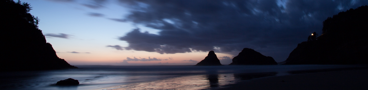
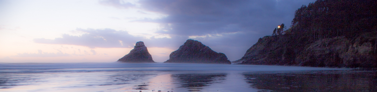


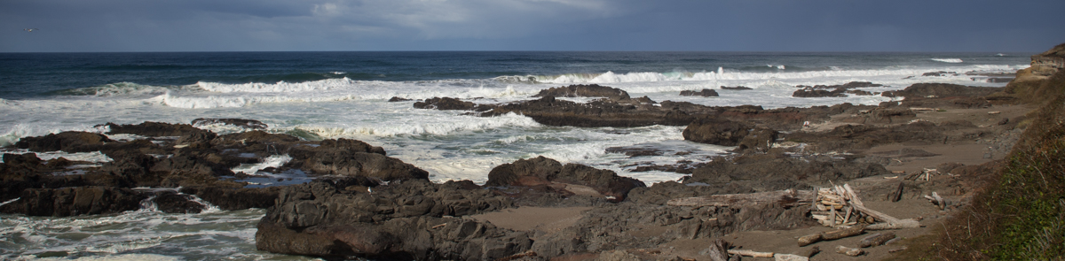
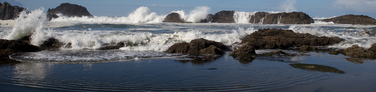
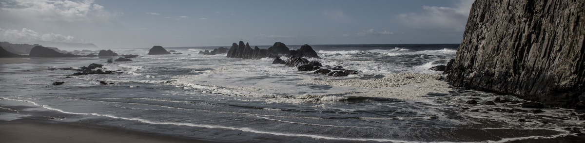
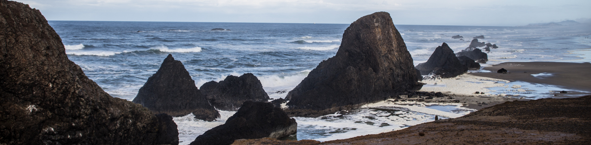
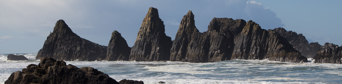
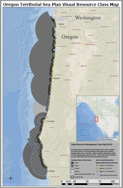
The Oregon Coast is an internationally recognized tourist destination that attracts over 20 million (in 2011) visits to coastal state parks a year. In 2013, the state agencies with responsibility for managing the territorial sea completed an ambitious project to establish a Visual Resources Management System for the Territorial Sea Plan. The map below shows the locations where the viewshed of the coast were measured from publicly available locations, and then used to project into the ocean areas where development standard would be applied to any new application for development. The map below shows the Scenic Quality Visual Resource Inventory Assessment Locations and their resulting Class Values. Information regarding the development of methods and standards for project review are available in a pdf slideshow presentation (735 KB) (PDF).

Click the image below to download the completed baseline inventory report of sites.
The datasheet and class criteria are available for viewing here: pdf TSP VRIA datasheet, June 2012 (297 KB)